Lazarou Monkey Terror 🚀💙🌈
boosted

Interesting project for the Real-time radiation world map.
But, what's going on in Hungary?
#Tag
Interesting project for the Real-time radiation world map.
But, what's going on in Hungary?
Interesting project for the Real-time radiation world map.
But, what's going on in Hungary?
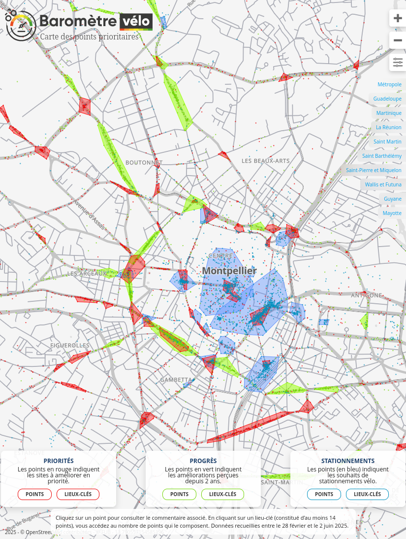
Très belle cartographie du #barometrevelo2025
Les nuages de points entourés par les polygones sont beaucoup plus faciles à lire que dans les rendus des années précédentes!
Bravo aux autrices et auteurs 👏
https://www.barometre-velo.fr/2025/carte/#13.78/43.62228/3.87104

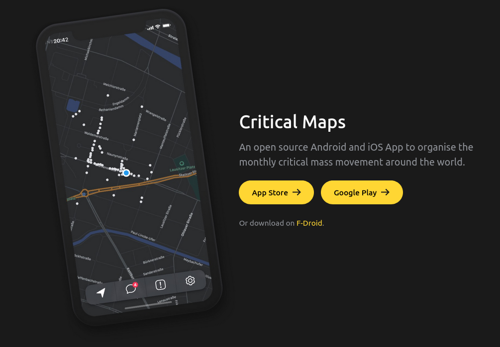
Vous souhaitez rejoindre une vélorution ou un autre groupe de cycliste mais vous ne savez pas où est le peloton ?
Il existe une application open source et cross-platform nommée CriticalMaps pour ça : https://www.criticalmaps.net/
Cela peut-être utile pour ce dimanche 🚲🚲🚲
#velorution #nantes #velo #maps #osm #openStreetMaps #foss #opensource
Interesting, wonder what the heck this water pattern is (wildfire mostly contained within the footprint of marked waterway in the shape of a horseshoe, with no connection to the Rio Bravo- Rio Grande. (Edit: this is an oxbow lake!) #maps
Hi @organicmaps ! Why can‘t I define you as my default navigation app in iOS? #maps #navigation #ios
We are a network of scientists, developers and organizations building the next generation of digital spaces for open science.