Discussion
Loading...

#Tag

  • About
  • Code of conduct
  • Privacy
  • Users
  • Instances
  • About Bonfire
FieldsToBarrels
@FieldsToBarrels@mastodon.social  ·  activity timestamp 4 days ago

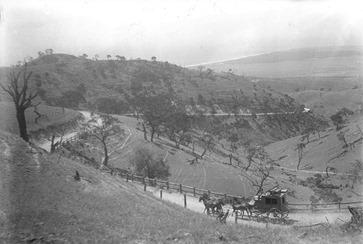
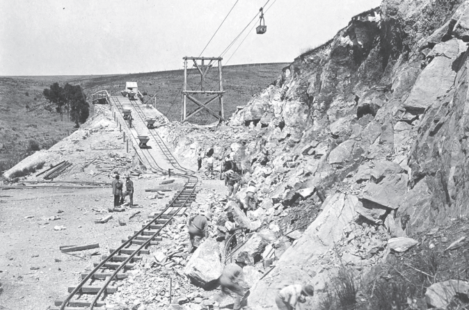
Victory Road at Sellicks Beach once linked Noarlunga to the southern Fleurieu — following an ancient Kaurna track. Built in 1858 through John Norman’s persistence, it shaped travel across the peninsula and earned him a hotel in his name.

#FleurieuPeninsula #SAHistory #australia #southaustralia #heritage #localhistory @altbot

A black and white, outdoor photograph shows a grassy, hilly landscape with a dirt path winding through it. The scene is dominated by a large, gently sloping hill in the foreground, covered in sparse vegetation and trees. A dirt path snakes its way up the hill, with a group of people and what appears to be horse-drawn carriages visible along the path. In the distance, the landscape continues to roll with more hills and a hazy sky. The photograph appears to be taken from a slightly elevated perspective, looking down towards the path and the distant hills.
  • Copy link
  • Flag this post
  • Block
FieldsToBarrels
@FieldsToBarrels@mastodon.social  ·  activity timestamp 6 days ago

Prior to 1920, crushed limestone from the Reynella Quary was transported to the Brighton via horse-drawn carts. In 1921 a 6km long bi-cable aerial rope-way was built. This system was supported by 52 wooden trestles, some reaching heights of up to 21 meters, and had a daily capacity of 400 tons. At the time of its installation the ropeway was the longest in Australia and some of the original foundations can still be found.

#australia #southaustralia #adelaide #mining #heritage @altbot

This is a black and white photograph of a mining site alongside a rocky hillside. A set of railroad tracks runs along the base of the hill, with several people working on or near them. To the left of the tracks is a wooden structure with a trolley system extending overhead. The hillside itself is covered in loose rocks and debris, with people scattered throughout, likely involved in excavation. In the distance, the land appears flat and dry.  There is vegetation in the foreground and background.
This is a black and white photograph of a mining site alongside a rocky hillside. A set of railroad tracks runs along the base of the hill, with several people working on or near them. To the left of the tracks is a wooden structure with a trolley system extending overhead. The hillside itself is covered in loose rocks and debris, with people scattered throughout, likely involved in excavation. In the distance, the land appears flat and dry. There is vegetation in the foreground and background.
  • Copy link
  • Flag this post
  • Block
FieldsToBarrels
@FieldsToBarrels@mastodon.social  ·  activity timestamp 6 days ago

In 1840, the cost for purchasing land parcels in the newly established “Noorlunga” township was set at four shillings per foot.

Initially there was minimal activity observed at the horseshoe bend on the river. The choice of location was made was to utilise the river for transportation and connecting it to a future port. (Port Noarlunga)

#localhistory #southaustralia
#noarlunga #oldnoarlunga #portnoarlunga #australia @altbot

A black and white photograph depicts a still body of water with a reflection of trees and buildings on the opposite bank. The water takes up the majority of the frame, with dark, distorted reflections visible on its surface. A large, dark mass, potentially a rock or debris, is partially submerged in the foreground on the right side of the frame. On the far bank, a line of trees crests a slight hill, and behind them are several buildings, including a structure with a peaked roof. The image appears to be taken at ground level, and the scene is somewhat obscured, possibly due to the dark tone and the quality of the photograph itself.
  • Copy link
  • Flag this post
  • Block
Log in

Open Science

We are a network of scientists, developers and organizations building the next generation of digital spaces for open science.

Open Science: About · Code of conduct · Privacy · Users · Instances
Bonfire open science · 1.0.0-rc.3.14 no JS en
Manual federation enabled
  • Explore
  • About
  • Members
  • Code of Conduct
Home
Login